From land surveying and 3D laser scanning to construction and electrical works — Zenith Group delivers precise, reliable engineering solutions across Egypt and beyond.

Zenith Group Co., LTD is a professional engineering and surveying firm established in 2015, backed by more than 20 years of combined experience in the market. We deliver complete engineering solutions in construction, architectural design, survey works, electrical works and advanced 3D laser scanning.
We believe our people are the key to success. Our team of skilled, passionate engineers and surveyors completes top-quality projects on time, with consistent client satisfaction — in Egypt and internationally.
To lead in construction, survey and laser scanning — delivering excellence through best-in-class performance and efficiency.
To understand our clients' objectives and find the best solution together, always respectful of budget and time.
One partner for every stage of your project — from precise data capture to full construction delivery.
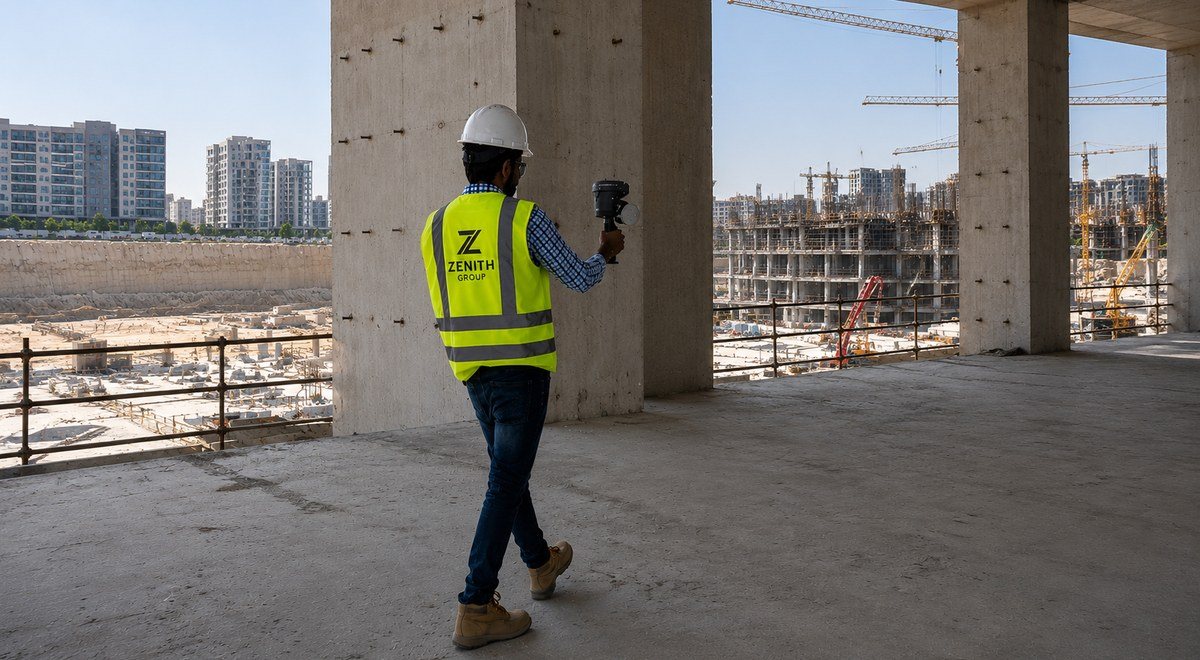
Reality capture with millions of points per second. Scan-to-BIM, as-builts, deformation monitoring and sub-millimetre accuracy.
Learn more →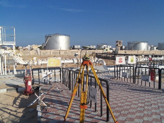
Topographic and cadastral surveys, GPS/GNSS control networks, setting out, levelling, airport and infrastructure surveys.
Learn more →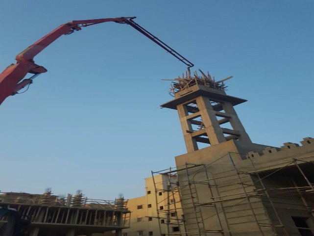
General contracting, structural and finishing works, supervision and execution for residential, service and specialized projects.
Learn more →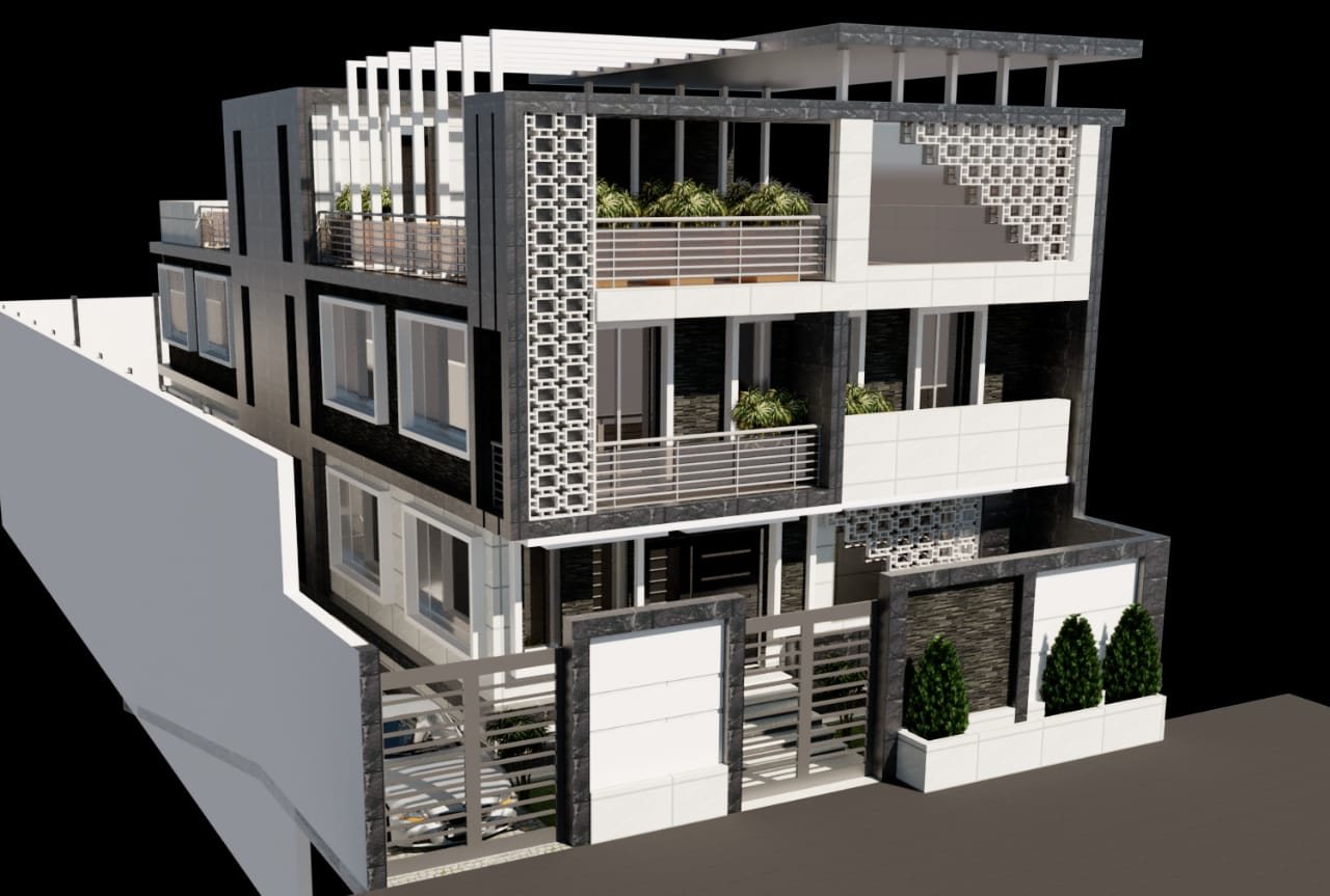
Architectural and structural designs, perspectives and façades, building licenses, drawings and development proposals.
Learn more →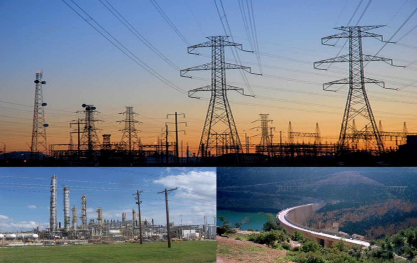
Power systems, protection and SCADA, power studies, commissioning and testing — from low voltage up to 500 kV.
Learn more →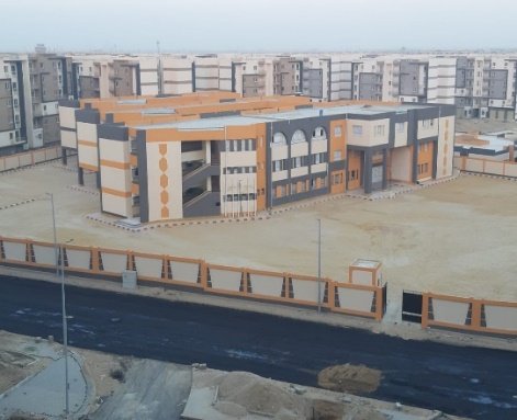
Geo-referencing of satellite imagery, feature digitizing, utility network mapping and spatial data linked through GIS.
Learn more →

Our laser scanning division combines state-of-the-art mobile LiDAR with intelligent processing to deliver accurate, actionable 3D data across every industry — faster than any traditional survey method.
Leica and Sokkia total stations, multi-frequency GNSS RTK units, precise levels and a 3D laser scanner with SLAM.
Work referenced to ETM, WGS84 and ITRF systems with full QA/QC on every deliverable.
Airports, utilities, housing authorities and industrial clients across Egypt, KSA, Oman and Libya.
From airports and treatment plants to new cities, control networks and industrial facilities.
Tell us about your site and requirements — our engineers will help you find the right solution.
Get in Touch


